-
 Sen2CoralDetection & Monitoring of Coral Bleaching from Space
Project Details
Project Objectives
The objective of ESA’s SEOM Programme Sen2Coral is the preparation of the exploitation of the Sentinel-2 mission for coral reefs by developing and validating appropriate, open source algorithm available for the community.
The project objectives are the scientific exploitation and validation of the Sentinel-2 Multispectral Instrument (MSI) for mapping (habitat, bathymetry, and water quality) and detection change for coral reef health assessment and monitoring, and algorithm development dedicated to Sentinel-2 capabilities to satisfying these objectives.
Research Program
- A critical analysis of feedback from scientists and institutions collected through consultations in ESA and Third Party workshops, symposia and conferences
- Proposal of potential observation scenarii for Sentinel-2 in terms of required spatial coverage and repeat cycle considering user requirements, existing observation initiatives and synergy with other sensors (Landsat, SPOT sensor families)
- Identifying scientific priority areas and providing guidance for future scientific data exploitation projects
This builds on the work presented in the paper authored by John Hedley, Chris Roelfsema, Benjamin Koetz and Stuart Phinn (2012), “Capability of the Sentinel 2 mission for tropical coral reef mapping and coral bleaching detection”, Remote Sensing of the Environment, 120, 145-155.
Project Organisation
To address the extremely interesting and challenging questions posed by this project a consortium of contractors with appropriate background knowledge and skills has been assembled. The consortium comprises:
In line with the Copernicus policy, the project has been structured with the purpose of offering to the community of users free-access to reliable and up-to-date Coral health information. It is centred on an Advisory Group, the Science Team, assisted by a Technical Team tasked to provide registered stakeholders with a number of services approved by the Project Management.

Science Advisory Group
The consortium is complimented by a science team of consultants and partners who are recognised international scientists in the field. The members of the team are:
- Dr. John Hedley (Numerical Optics Limited, UK)
- Dr. Claudia Giardino (CNR-IREA, Italy)
- Dr. Vittorio Brando (CNR-IREA, Italy)
- Dr. Tiit Kutser (University of Tartu, Estonian Marine Institute)
- Dr. Antoine Collin (EPHE Sorbonne, France)
- Professor Peter Mumby (University of Queensland, Australia)
- Professor Stuart Phinn (University of Queensland, Australia)
- Dr. Chris Roelfsema (University of Queensland, Australia)
Technical Team
The Science Advisory Group is supported by a Technical team tasked with collecting, validating, formatting and distributing the data, software and products elaborated in the course of the project. The Technical Team comprises a number of key engineers, amongst whom the technical tasks have been distributed as follows:
- Project management: Jean Laporte (ARGANS Ltd)
- Project conceptual supervision: Dr FR Martin-Lauzer (ARGANS Ltd)
- Validation and management of satellite imagery: Jan Jackson (ARGANS Ltd):
- Web site Development: Dr Stephen Emsley (ARGANS Ltd)
- Image processing: Romain Serra (ARGANS Ltd)
- Production of charts: Henri Dolou, FIG/IHO/ICA Cat. A (ARGANS Ltd)
- Software package & ATBD manual: Julien Malik, Philippe Bryere, CS-SI
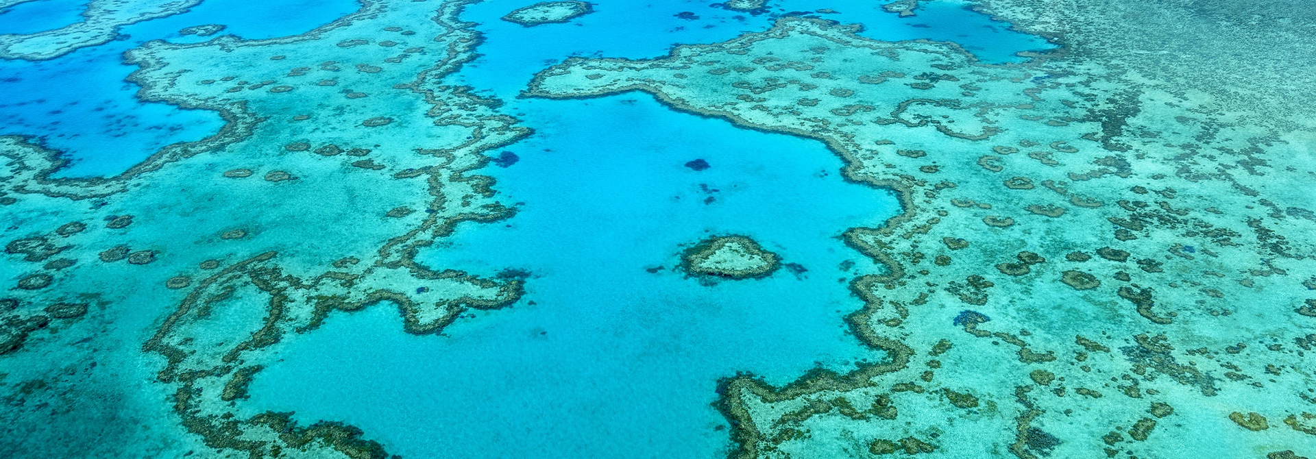
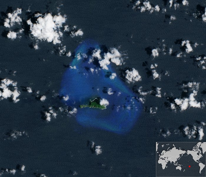
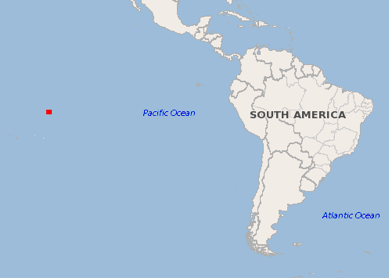
Fatu Huku, Marquesas
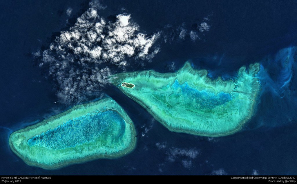
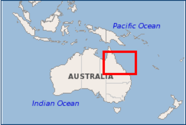
Heron, Great Barrier Reef
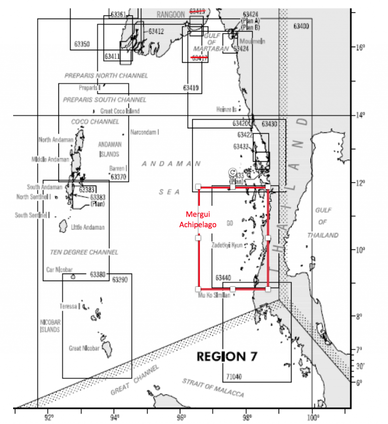
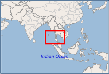
Lampi, Myanmar
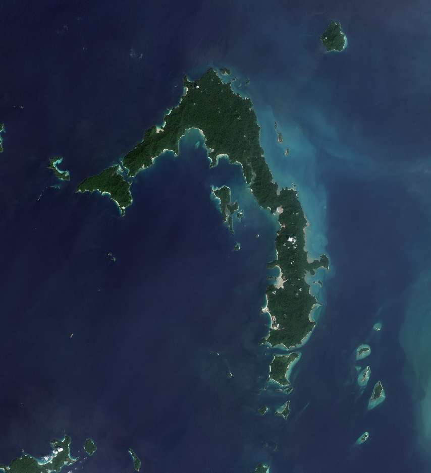
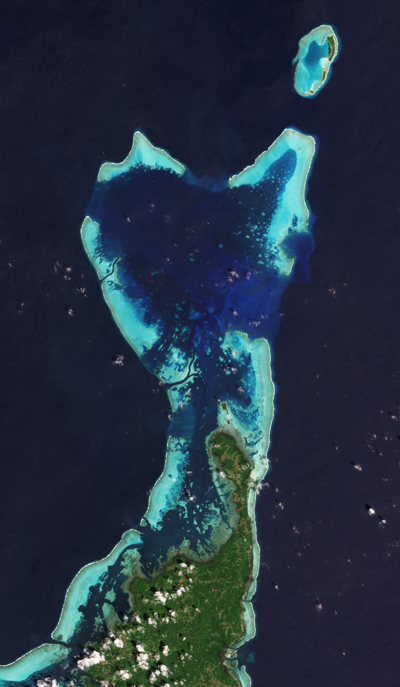
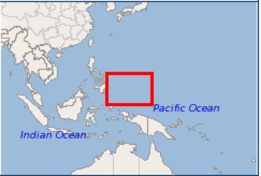
Palau, Western Pacific
Project Activities
Background
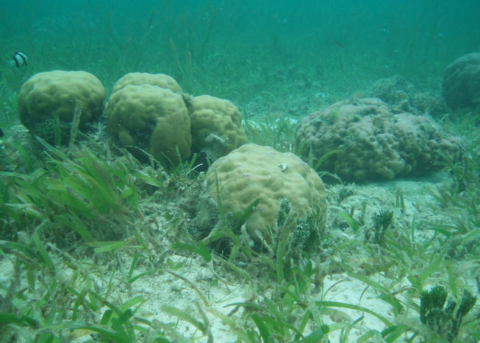
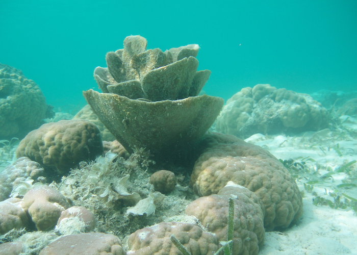
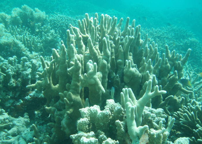
The degradation of coral reefs is a fact, with 55% of reefs being affected by overfishing and destructive fishing methods, which as the most pervasive threats, whereas 25% of reefs are affected by coastal development and pollution from land, including nutrients from farming and sewage, while one tenth suffer from marine-based pollution (local pressures are most severe in South-East Asia, where nearly 95 per cent of coral reefs are threatened).
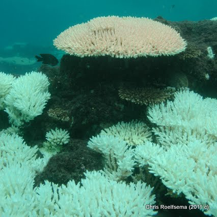
In addition the coral reefs’ ecosystems appear to be the first to respond to global climate changes, such as increased sea surface temperature (SST), ultraviolet radiation (UV) and acidification of seawater that results from higher levels of atmospheric CO2 concentration.
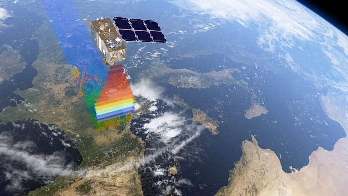
Sentinel-2 MSI Data Acquisition
The Copernicus Sentinel-2 Multispectral Instrument (MSI) offers several potential technical advantages in the remote sensing of coral reefs due to:
Algorithm Development & Data Processing
The objective “to develop and validate new algorithms relevant for coral reef monitoring based on Sentinel-2 observations” will be addressed by parameterising existing models for processing hyper-spectral & multi-spectral data and developing pre-processors for these models to build Sentinel-2 data processing algorithms for the retrieval of coral reefs’ static and dynamic characteristics. The code developed will be made available open source.
Validation & uncertainty analysis will involve both comparing Sentinel MSI performance versus Landsat 8 on coral reef mapping objectives and comparing coral reef monitoring products against in situ data from reef sites representative of different composition and structure.
Product Development
To design, verify and validate three coral reef monitoring products making the best use of Sentinel-2 MSI mission characteristics:
Science Review
Scientific Approach: Review of objectives & methodologies
Coral reef monitoring programs based on in situ field surveys have several caveats that restrict its use and the relevance of its outcomes. These are:
Using satellite remote sensing within a monitoring program potentially addresses both of these issues. Remote sensing should be seen as a complementary technique to in-situ field surveys. The two approaches produce different types of data which together can be used to build a picture of reef ecology across a wide range of spatial and temporal scales.
Coral Reef Applications & Methodologies
All published methods appropriate for coral reef applications and methodologies have been reviewed. These include:
Radiometric changes and bleaching detection have also been reviewed extensively.
Water Column Correction
The most practical water column correction techniques are those based on band combinations, which in many cases are entirely image-based. Many of these algorithms are quite similar and typically involve the assumption that the attenuation of light with depth is a negative exponential, i.e. over a constant bottom reflectance, \[R_{i} \propto \exp\left({-k_{i}z}\right)\] where \(R_{i}\) is the atmospherically corrected above-water reflectance in band \(i\), \(k_{i}\) is the water attenuation coefficient for that band and \(z\) is the depth. The attenuation \(k_{i}\) depends on constituents of the water and is general unknown, but by combining bands the problem can be reduced to determining relative parameters that can be estimated from the image itself.
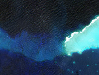
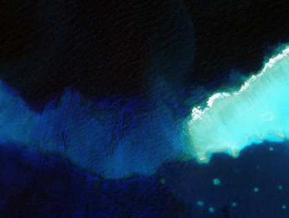
Sun Glint Removal
Deglint is a pre-processing algorithm aimed at removing the direct reflection of the sun from the air-water interface or ‘sun glint’.
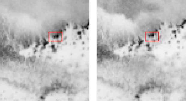
Landsat 8 before de-glint
Landsat 8 after de-glint
Sentinel 2 before de-glint
Sentinel 2 after de-glint
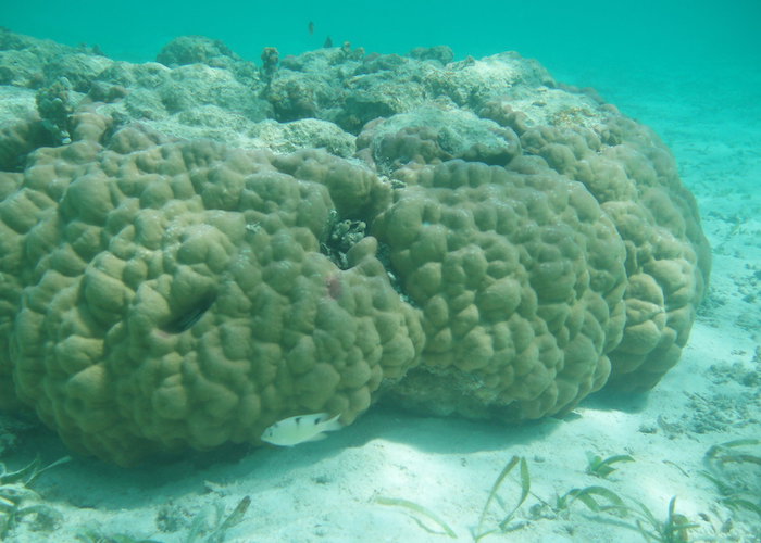
Habitat Mapping
Habitat classification is the most common objective for coral reef mapping from satellite data. Only standard methods of per-pixel classification will be considered. however due to the submerged nature of the reef special pre-processing techniques for removal of surface glint and the effect of variable depth will be the focus within Sen2Coral.
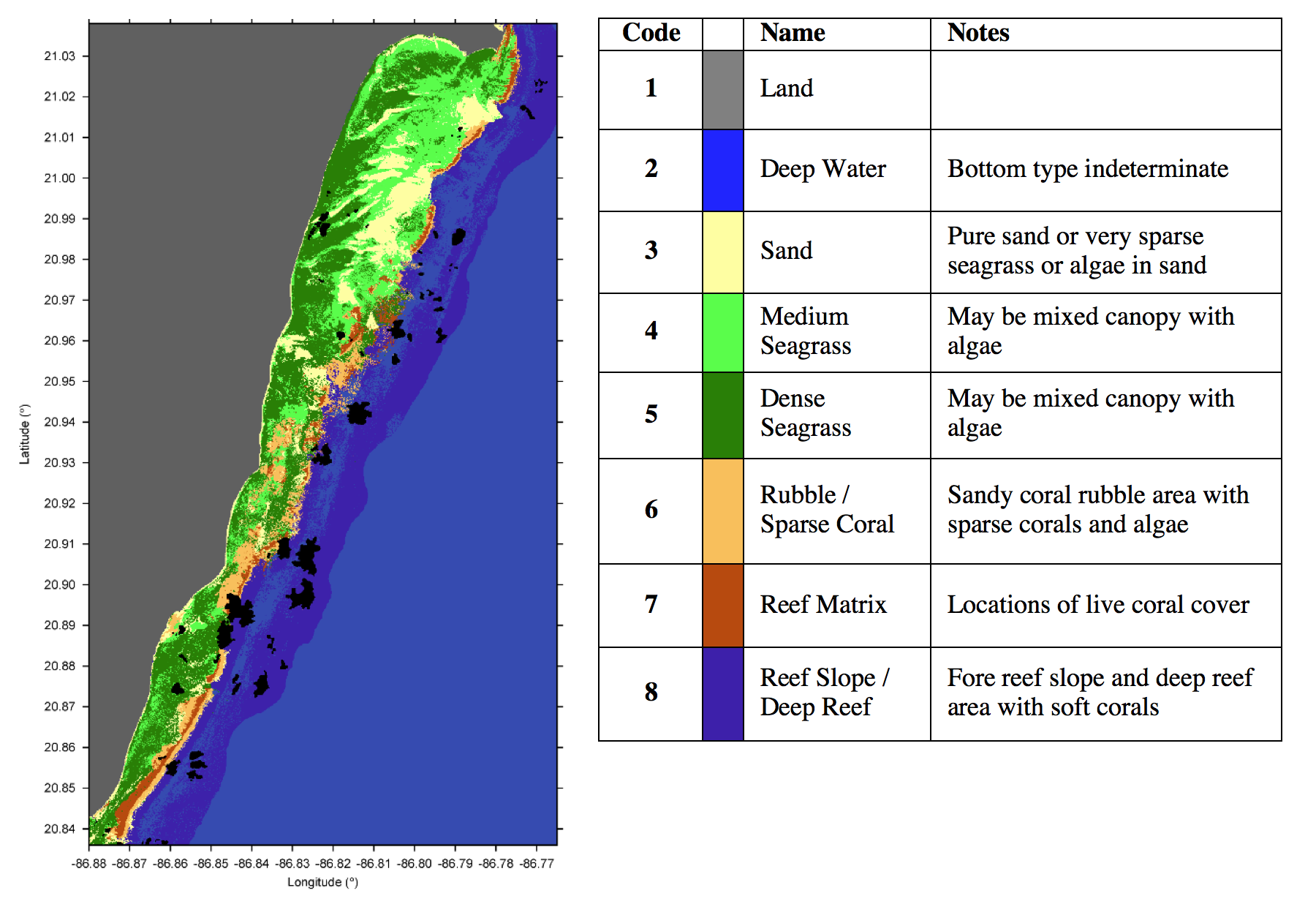
Benthic habitat classes used for high spatial resolution bottom type classification. Class 8 (reef slope) is used only in the Yucatán site map (shown)
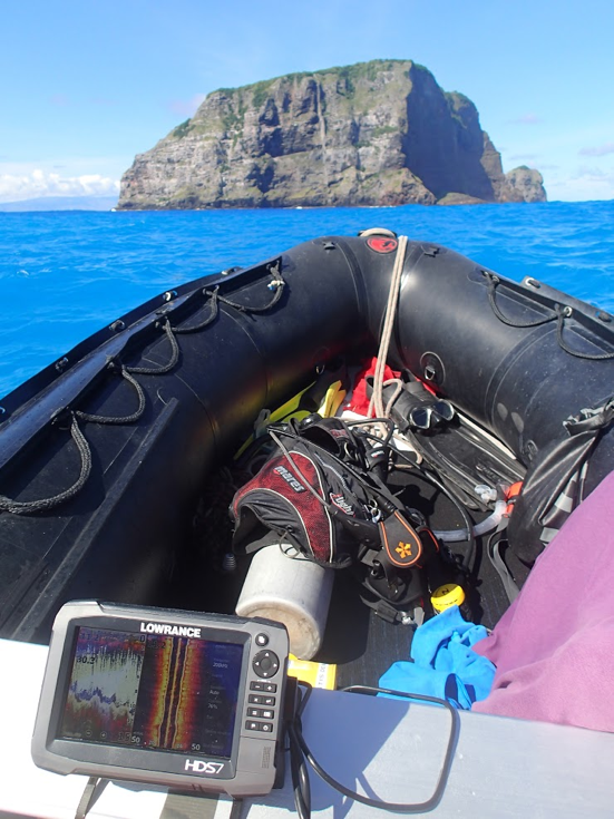
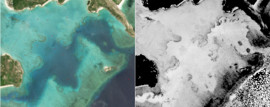
Satellite Derived Bathymetry
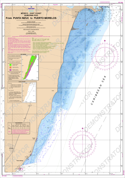
IHO-compliant nautical chart of Yucatán generated from SDB
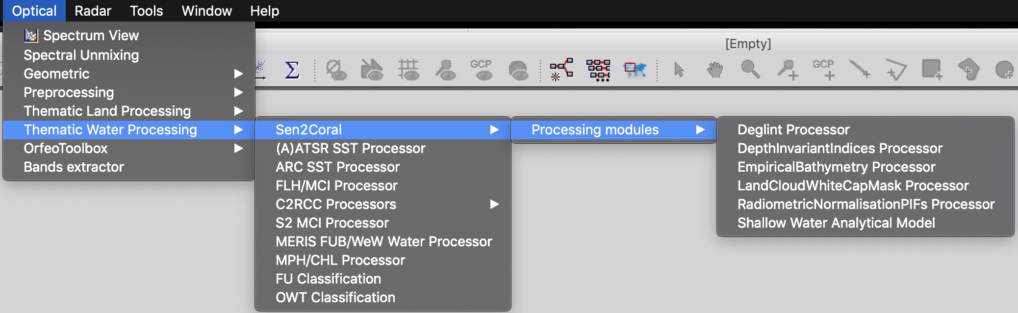
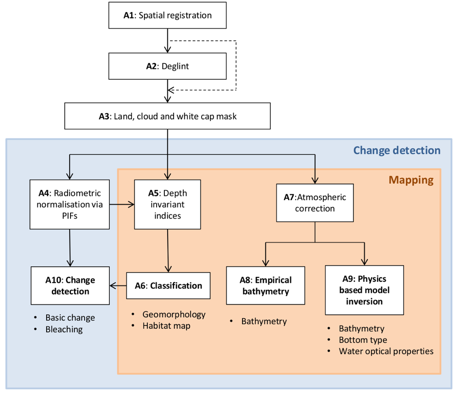
Algorithm Implementation
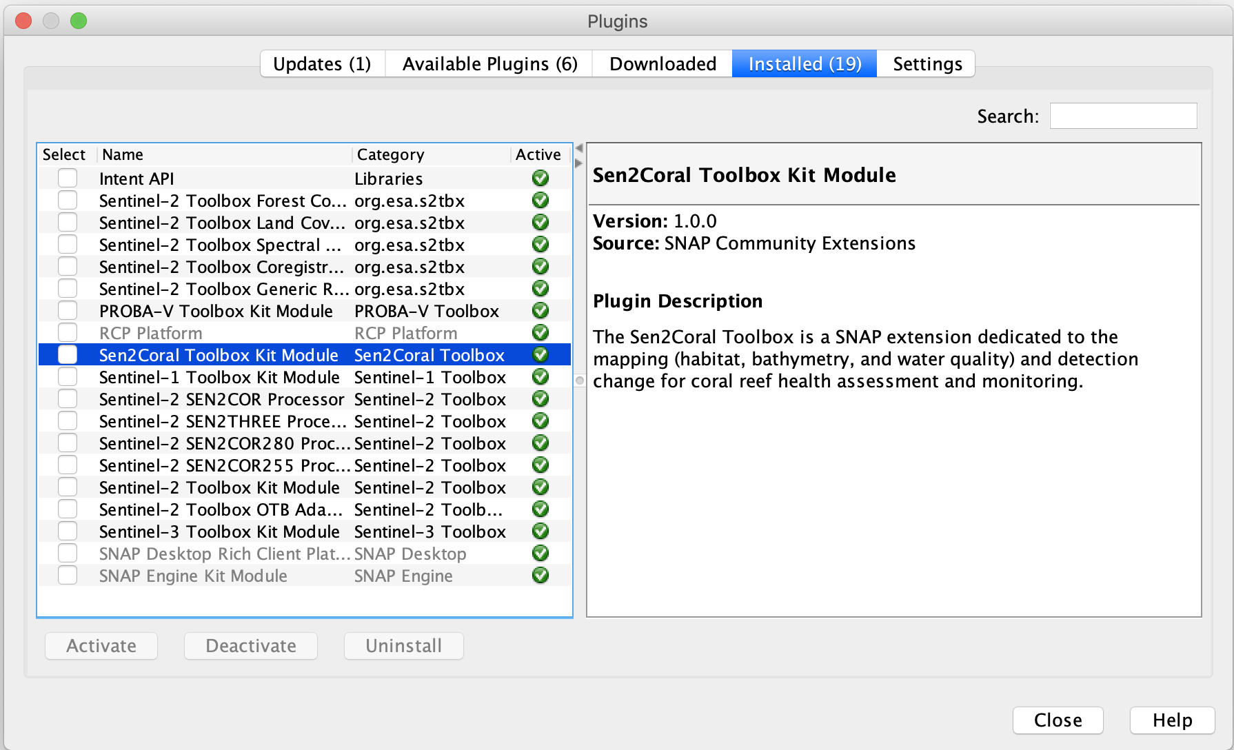
Sen2Coral intends to implement a selection of practical tools based on visual interpretation of time series and pixel based differences. A processing chain comprising ten distinct algorithm modules will be tested and validated to address the Sen2Coral objectives. Access to Implementation details of the selected algorithms available in the Sentinel 2 Toolbox will be granted, including but not limited to:
Comprehensive information on proprietary applications not yet included in the Toolbox will be provided. These will address:
Proposed processing chain modules to be used, either pre-existing or to be implemented in the Sentinel 2 Toolbox
Spatial Registration
Change detection requires that image pairs or sequences are spatially aligned.
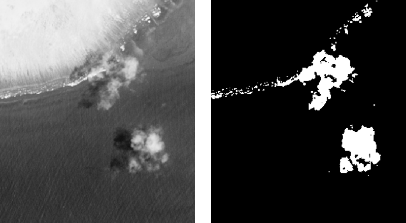
Land, cloud & white cap mask
For many of the processing steps in the proposed modular system it is advantageous to exclude pixels of land, clouds, cloud shadows and breaking waves (white caps).
Depth Invariant Indices
Calculation of depth invariant indices is a water column correction step that is frequently a useful pre-processing step for benthic classification. Attenuation of the reflectance is approximately inverse exponential with water depth, therefore the transform, \[X_{i} = \ln\left(R_{i}{-R_{i}^{deep}}\right)\]approximately linearises the effect of depth on reflectance. \(R_{i}\) is the pixel reflectance in band \(i\), and \(R_{i}^{deep}\), is the deep water reflectance in that band.
Atmospheric Correction
The potential of the Sentinel-2 for coral reef applications increases with the possibility to have data corrected for the atmospheric effects.
Change & Bleaching Detection
Image registration and multi-temporal radiometric corrections are perhaps the most important and indispensable steps in change-detection methods. For change detection, we adopt the common approach used within the ‘land’ remote sensing domain.
Physics Based Removal
The main recent development in coral reef remote sensing algorithms is that of physics-based model inversion approaches. These methods work by establishing a forward model for the spectral water-leaving remote sensing reflectance,\(R_{rs}(\lambda)\), based on the depth, optical properties of the water and bottom type. The majority of methods are based on a set of equations derived by Lee et al (1998; 1999) which can be represented by a function, \[R_{rs}(\lambda) \approx f\left({P,G,X,H,R(\lambda),\lambda}\right)\]Where \(P\),\(G\),\(X\) represent the amount of phytoplankton, dissolved organic matter (CDOM) and particulate backscatter, \(H\) is the depth and \(R(\lambda)\) is the bottom type reflectance – which can be taken from a spectral library or linear mixtures thereof..
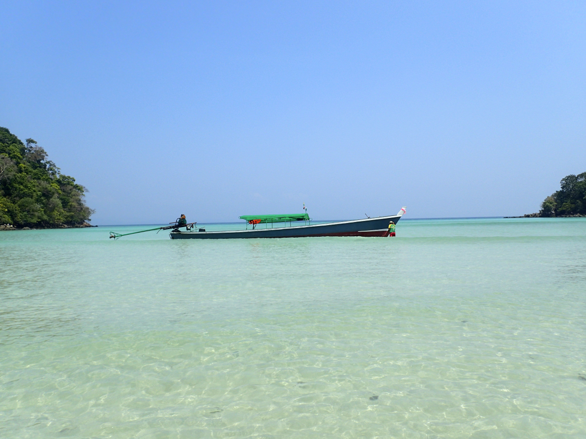
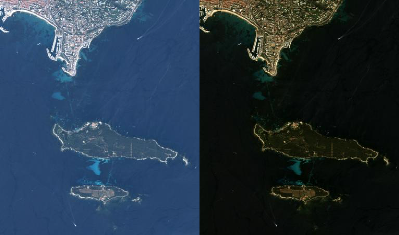
Test Areas
Validation Approaches
| Objective | Validation Data | Considerations for interpretation | Accuracy presentation |
|---|---|---|---|
| Categorical habitat mapping | Transect of point data of bottom cover | Geolocation accuracy (assessed visually near habitat boundaries) | Confusion matrices. Overall accuracy |
| Bathymetry | Echo sounder point data | Tide corrections. Plumes or other anomolies (assess visually). Geolocation (see above) | Correlation plots of estimated vs. sonar bathymetry |
| Change and bleaching detection | Bleaching incidence data (if available). Visual interpretation | Plumes or other anomalies (assess visually) | Confusion matrices. Times series plots |
| Water optical properties | Data on known IOP ranges | None | Tabulated results |